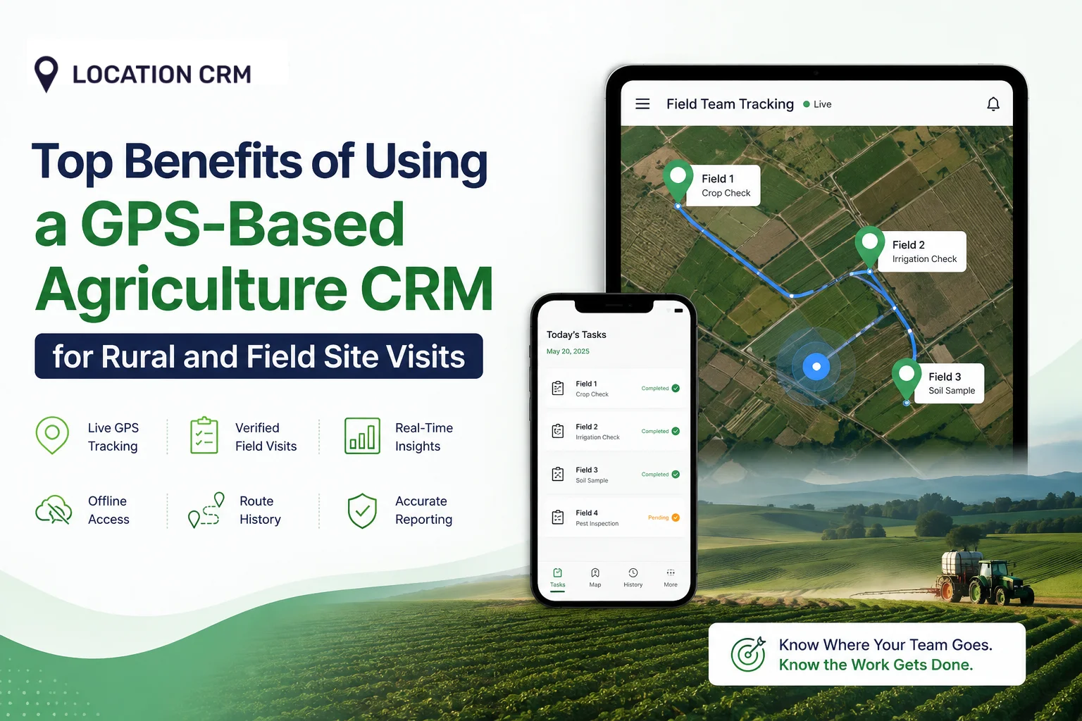

A farm manager in Texas once told us she spent more time calling her agriculture field staff to ask “where are you right now” than she did planning the week’s crop checks. That’s the real problem behind most rural farm operations. Not the crops. Not the weather. It’s the blind spot between the office and the field.
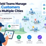
A GPS-based agriculture CRM fixes that blind spot. It gives you a live view of where your team is, what they’ve visited, and what still needs checking, even when the nearest cell tower is miles away. And once that visibility exists, a lot of the daily chaos on a farm just quietly disappears.
Table of Contents
What Is a GPS-Based Agriculture CRM?
A GPS-based agriculture CRM is software that tracks farm and field tasks using real map locations. It records where your field team goes, confirms they reached the correct site, and logs that visit as verified data instead of a manual report.
Farms and rural operations run on movement. Someone drives to a field, checks the crop, logs a note, and moves to the next site. A regular CRM was never built for that. It was built for desks, not dirt roads.
A GPS-based agriculture CRM connects farm and field tasks to actual map locations. It tracks where your team goes, confirms they reached the right spot, and stores that visit as proof, not guesswork. Think of it less like a sales tool and more like a logbook that fills itself in.
Farms that use this kind of tool usually deal with one or more of the following:
- Multiple fields spread across a large or scattered area
- Agriculture Field crews who work independently for most of the day
- Crop checks or inspections that need a paper trail
- Delivery or supply routes that change from day to day
- Managers who aren’t physically present on-site to verify work
How GPS Tracking Fits Into Farm CRM Tools?
GPS tracking gives farm CRM software something it was missing: location context. Every task, from a soil check to a crop inspection, gets tied to a real coordinate. You stop relying on phone calls and start relying on data. And that shift, from asking to knowing, changes how field teams operate day to day.
It also changes how disputes get settled. If a worker says they checked Field 9 but nobody else can confirm it, GPS data ends the argument in seconds.
Core Features That Power Rural Field Tracking
Here’s what typically sits under the hood:
| Feature | What It Does |
| Live GPS location sharing | Shows where field staff are in real time |
| Task assignment by location | Sends jobs based on who’s closest |
| Visit logging | Records proof that a site was actually checked |
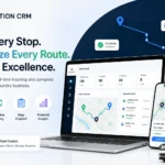
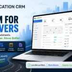
| Map-based dashboards | Displays every field and worker on one map |
| Offline data sync | Saves data locally, then syncs once signal returns |
| Route history | Keeps a record of where a worker traveled that day |
| Custom pins and notes | Lets a worker tag a specific spot with details |
Not every farm needs all seven at once. A three-person operation might only lean on location sharing and visit logging. A larger co-op will use the full set, including route history for fuel and labor audits.
Why Rural and Field Site Visits Need GPS Tracking?
Rural work doesn’t happen in tidy grids. Fields are spread out, roads are inconsistent, and network coverage comes and goes. Without location tracking, a manager is basically flying blind.
Challenges of Managing Visits in Remote Areas
Distances between sites can stretch for kilometers. Staff might cover three or four fields in a single day, and each one needs its own check-in, task, and report. Without GPS, none of that gets verified. You’re left trusting a phone call or a handwritten note that may or may not be accurate.
A few things that tend to go wrong without location tracking:
- Workers skip a field but report it as done
- Two staff members unknowingly visit the same site while another goes unchecked
- Managers can’t tell how long a visit actually took
- Fuel and mileage get estimated instead of measured
- Reports pile up at the end of the week instead of updating in real time
Why Manual Farm Visit Records Fall Short?
Paper logs get lost. Memory gets fuzzy by the end of a long day. A worker might genuinely believe they visited every field on the list, but manual records can’t confirm it. The honest answer is that manual tracking works fine until something goes wrong, and then there’s no record to fall back on.
There’s also the handwriting problem nobody talks about. Half the time, a rushed note scrawled in a field notebook is unreadable by the time it reaches the office, and someone ends up calling the worker back to ask what it said in the first place.
How Offline Access Helps in Low-Network Zones?
Most rural fields don’t have reliable data coverage. As of 2025, only 55% of U.S. farms use a broadband connection, while USDA’s National Agricultural Statistics Service reports 74% rely on cellular data instead. On top of that, the FCC estimates roughly 16% of rural residents still lack broadband at benchmark speeds. That gap is exactly why offline access matters so much for farm software.
A location CRM built for agriculture needs to work without a signal, saving GPS pins and task updates locally on the device. Once the signal comes back, everything syncs automatically. No lost data, no repeated trips just to re-enter information, and no waiting until someone drives back into town to get bars on their phone.
Top 5 Benefits of Using a GPS-Based Agriculture CRM
This is where the real value shows up for rural and field operations. Each benefit below solves a specific pain point that farm managers deal with weekly, sometimes daily.
Real-Time Location Tracking for Field Teams
You can see exactly where every field worker is on a live map. No more guessing, no more waiting for someone to answer a call. If a worker is running behind on the day’s route, you’ll know immediately and can adjust the plan.
This benefit alone tends to save managers the most time. Instead of:
- Calling three or four workers to check progress
- Waiting for a callback that may not come until lunch
- Guessing whether someone actually left for the next site
You just glance at the map and know.
Accurate Task Assignment Based on Location
Tasks get assigned to whoever’s closest, not whoever’s available on paper. This alone cuts down travel time significantly. A worker already near Field 12 doesn’t need to backtrack across the property just because the schedule said so.
Location-based assignment also helps with:
- Balancing workload across a scattered crew
- Reacting quickly when a new task comes in mid-day
- Reducing overlap where two workers end up near the same field by accident
Verified Visit Proof for Crop and Site Checks
GPS-based agriculture CRM for field visits gives you proof, not promises. Every visit gets tagged with a location and timestamp, so there’s a clear record of what got checked and when. This matters a lot for compliance, audits, or simply settling disputes over whether a task was done.
Visit proof becomes especially useful when:
- A client or regulator asks for documentation of a site inspection
- A crop issue is spotted late and you need to know the last time that field was checked
- Payroll needs to match hours worked against actual field time
Optimized Routes for Field and Delivery Staff
Route optimization plans the shortest, most efficient path between multiple sites. Staff waste less fuel and less time driving in circles. Over a full season, that adds up to real savings, not just a nice-to-have feature.
Fuel and labor costs are two of the biggest recurring expenses on a farm, and both are directly tied to how much time crews spend driving instead of working. Cutting even 15 to 20 minutes of wasted travel per stop, multiplied across a week, adds up fast.
Better Reporting for Rural Operations Managers
Managers get clean, location-tagged reports instead of a pile of scattered notes. You can pull up a week’s worth of field visits, see patterns, and spot which sites are getting skipped. In my experience, most operational problems get caught faster once the data is visual instead of buried in spreadsheets.
Useful reporting angles include:
- Which fields get visited most and least often
- Average time spent per visit, by worker or by site
- Missed or overdue tasks by date
- Travel distance and route efficiency over time
Secure Data Access Across Farm and Field Teams
Not everyone needs to see everything. Role-based access lets managers control who can view, edit, or share location and task data. Field workers get what they need for the day, and sensitive farm data stays protected.
This matters more than people assume. A large operation with seasonal or contract labor doesn’t want every temporary worker seeing pricing, yield data, or full farm boundaries. Role-based access keeps that separation clean without extra manual work.
How Location CRM Supports Rural Field Visits?
Location CRM was built around this exact problem: field teams that need location data to actually work. It combines GPS location sharing, task assignment, and visit tracking into one map-based system rural agriculture teams can use daily.
Map-Based Tools for Tracking Farm Locations
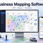
The map view shows every field, every task, and every worker in one place. Locations can be dropped, edited, grouped, and tracked without switching between five different apps. Rural site visit tracking software should feel simple, and this keeps it that way.
Practical things this map view supports:
- Grouping fields by crop type, region, or crew
- Dropping custom pins for irrigation points, storage sites, or problem areas
- Editing a location on the fly if a task moves to a different spot
- Viewing historical visits for any single field, not just today’s activity
User Roles and Permissions for Field Staff
Location CRM lets you assign Application, CRM, or combined roles. Field staff might only need read and edit access to their assigned sites, while a manager sees the full picture across every crew. This keeps data organized without slowing anyone down.
Choosing the Right Agriculture CRM for Your Team
Not every CRM fits every farm. A small operation with three fields needs something different than a co-op managing dozens of remote sites.
Key Features to Look for Before You Choose
Before picking a tool, check that it covers:
- GPS tracking for farm visits, working both online and offline
- Task assignment tied to real locations, not just names on a list
- Visit verification with timestamps for compliance and reporting
- Route optimization to cut down travel time between sites
- Role-based permissions so data stays secure across teams
- A map view simple enough that non-technical field staff can use it daily
- Reporting that doesn’t require exporting to a separate spreadsheet tool
Skip anything that requires constant internet access. Rural fields rarely offer that luxury, and a tool that fails offline will fail your team exactly when they need it most.
The Real Cost of Not Knowing Where Your Field Team Is
Precision technology has already reshaped how U.S. farms operate. Autosteer guidance systems were used by 52% of midsize farms and 70% of large-scale crop farms in 2023, up from single digits two decades earlier, according to USDA’s Economic Research Service. Cotton growers saw similar jumps, with precision equipment adoption climbing from 46% in 2008 to 86% in 2023, as reported by GPS World. Even on the retail and dealer side, 48% now use GPS fleet management for tracking and logistics, according to the 2025 CropLife/Purdue Precision Adoption Survey.
Field visit tracking is simply catching up to the same shift that’s already happened in planting and harvesting. Farms that adopted GPS guidance early gained an edge in efficiency, and the same logic applies to field visits and task management.
But adoption isn’t the whole story. It’s what happens after adoption that separates farms that save time from farms that just added another app to their pile. A GPS-based agriculture CRM only pays off if it’s actually used daily, by every field worker, not just checked once a week by a manager trying to catch up on reports.
The farms that track their people as carefully as their tractors are the ones who stop losing hours to guesswork. And that’s not a small thing when a single missed crop check can cost an entire season’s yield.
Ready to see exactly where your agriculture field team is? Try Location CRM for agriculture and start tracking every visit with real GPS proof.
FAQs
What Is a GPS-Based Agriculture CRM Used For?
Agriculture CRM is used to track field visits, assign tasks by location, and confirm that crop checks or site visits actually happened. It replaces manual logs and phone calls with real-time, verified location data.
How Does GPS Tracking Help Farm Field Visits?
GPS tracking shows exactly where staff are and confirms they reached the correct site. This reduces missed visits, speeds up task assignment, and gives managers proof of work instead of secondhand reports.
Can Agriculture CRM Work in Remote Areas?
Yes, as long as it supports offline data sync. Location CRM saves GPS and task data locally when there’s no signal, then syncs automatically once the device reconnects. This matters given that a meaningful share of U.S. farms still don’t have reliable broadband access.